
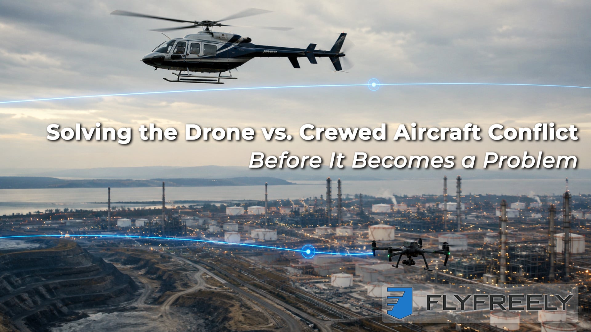
Safe Skies Above Your Sites
Solving the Drone vs. Crewed Aircraft Conflict, Before It Becomes a Problem
When you manage critical infrastructure, the riskiest flights are often the ones you don't see coming.
The near-miss you never hear about is still a near-miss.
Low-flying helicopters, pipeline patrols, aerial survey aircraft, and an expanding drone fleet all compete for the same sliver of airspace over your assets. Whether you've already had a close call or never want to be anywhere near one, your current way of managing mixed airspace has probably already reached its limit.
The Invisible Collision Course
For asset and site owners in oil and gas, power, mining, and heavy construction, low-altitude airspace has fast become crowded. Internal UAS teams fly inspections and survey missions. Contractors run their own platforms under separate approvals. Crewed aircraft conduct regular patrols, emergency response, or ad hoc work.
Right now, the "system" that keeps all of this apart usually involves a patchwork of emails, whiteboards, spreadsheets, radios, and one overworked aviation coordinator trying to keep it all straight. That's not an airspace management strategy. It's a single point of failure.
A patchwork of emails and whiteboards isn't an airspace strategy — it's a single point of failure waiting for a bad day.
Near-misses rarely make headlines, but they happen more often than you may realize, especially as drone operations scale in both volume and complexity. And as regulators move toward rules like FAA Part 108 and broader electronic conspicuity (e-conspicuity) mandates, the expectation will soon shift from "do your best" to "prove you're in control."
Why This Is an Executive-Level Risk
A mid-air collision over a live site isn't just a safety statistic. It can mean injury or loss of life for flight crews and ground personnel, production delays or shutdowns, regulatory investigations and penalties, and civil liability and reputational damage.
You already treat process safety and cyber risk as disciplines with real systems behind them. Airspace deserves the same rigor — not fewer standards just because more people are involved.
You already manage process safety, cyber risk, and physical security with disciplined systems. Airspace deserves the same rigor. The challenge is that it's uniquely hard to apply: the people sharing that airspace may not all work for you, don't all fly the same way, and don't all see the same picture.
That's why any sustainable approach has to do three things:
- Make intentions visible for everyone — internal pilots, contractors, and crewed operators alike
- Bake in current regulatory requirements while preparing for what's next
- Scale beyond a handful of enthusiasts to a distributed workforce and supply chain
Basic Strategic Deconfliction, Done Properly
You don't need a mature UTM ecosystem to start reducing risk today. You need one source of truth everyone flies against.
You don't need a fully mature UAS traffic management (UTM) ecosystem to start reducing risk today. You need a single operational source of truth. In practice, that means:
- One platform where all UAS missions are planned, approved, and logged
- Configurable "authorities" and workflows that reflect your regulatory and company rules
- Site-level airspace overlays with danger areas, no-fly zones, and protected corridors for regular crewed routes
We built FlyFreely precisely for environments involving complex sites, large fleets, mixed internal and contractor teams, and tight regulatory envelopes. Its authority-driven workflows and mission planning tools let you standardize how flights are requested, checked against airspace and local constraints, and approved — whether the pilot is on your payroll or not.
Instead of your aviation coordinator juggling emails and phone calls, imagine a contractor logs in and declares a planned inspection over a tailings dam next Tuesday. Your internal team schedules a separate mission in that same area. A recurring low-level helicopter patrol route is already codified as protected airspace. The system flags the conflict, prompts rescheduling or altitude separation, and records the decisions — giving you both operational safety and an auditable trail.
Looking Ahead to Part 108 and E-Conspicuity
Draft Part 108 rules in the U.S. point toward a future where BVLOS drones must detect and yield to crewed aircraft that are electronically conspicuous, often through ADS-B Out or equivalent devices. Australia is moving in a similar direction, with proposals to expand ADS-B requirements and allow approved e-conspicuity solutions for certain operators.
Part 108 will shift the bar from "do your best" to "prove you're in control." Programs that get ahead of that shift now won't be scrambling when it lands.
What does this mean for asset and site owners?
- Crewed aircraft servicing your sites may need to upgrade to remain "seen" by drones
- Your UAS fleet will increasingly rely on e-conspicuity inputs for tactical deconfliction
- Program managers will be expected to demonstrate not just compliance, but proactive integration planning
FlyFreely's roadmap leans into that reality by integrating richer airspace data, enabling site-driven hazard publication, and positioning your program for BVLOS and higher levels of automation as rules solidify.
How to Get Ahead of the Conflict Curve
You don't have to wait for the final Part 108 text to start making your aviation program safer. Here's how to do that now.
Map Your Current Picture
Identify all air users over your assets — internal UAS, contractors, regular crewed flights, emergency services. Document how you currently coordinate them, and where the gaps and "tribal knowledge" live.
Map the picture, design the workflow, then put it in a system built to grow — in that order, not the reverse.
Design Your Strategic Deconfliction Layer
Define standard workflows for mission requests, approvals, and notifications. Decide what needs to be visible at the site level — local "NOTAMs," corridors, danger areas — and to whom.
Put It Into a System That Can Grow
Implement a drone operations management platform that supports authorities, scalable workflows, contractor access, and airspace overlays in one place. Choose a partner that's already building toward electronic conspicuity and BVLOS readiness, not just logging today's flights.
See Your Sky Before It Grounds You
If you're still managing mixed crewed and uncrewed operations with email threads and memory, you're betting your program and your people on hope. Hope is not a plan. It's time to replace whiteboards with a live, shared airspace picture that scales with every new pilot, platform, and regulation.
To see how FlyFreely can help you standardize, scale, and sustain safe operations over your sites — and get an early look at the new deconfliction and conspicuity-focused capabilities launching in June — start a conversation with the team today.
Visit FlyFreely's site, request a short discovery session with your aviation coordinator and UAS program manager in the (virtual) room, and bring a real conflict scenario from your operations. In under an hour, you'll see how that scenario looks when every intention is declared, every risk is visible, and every decision is captured in a system built for the skies above your assets.